FIELD INDEX15 Sheets
Things I've
Built & Shipped
15 projects: SaaS products, mobile apps, backend services and geospatial systems.
15 projects
 Full-stack2026
Fundi POS
Multi-tenant, offline-first point of sale for Kenyan shops: an Android till, a Windows/macOS desktop till and a web dashboard on one API, with M-Pesa, multi-store stock and an audit trail.
 Geospatial2026
Dadaab Climate Risk Dashboard
Hazard and displacement dashboard for the Dadaab refugee complex in Garissa County, Kenya. Combines UNHCR population figures, NASA FIRMS fires, Open-Meteo rainfall and drought indicators, USGS earthquakes and OpenStreetMap facilities on one map.
 Full-stack2026
PharmaTrack
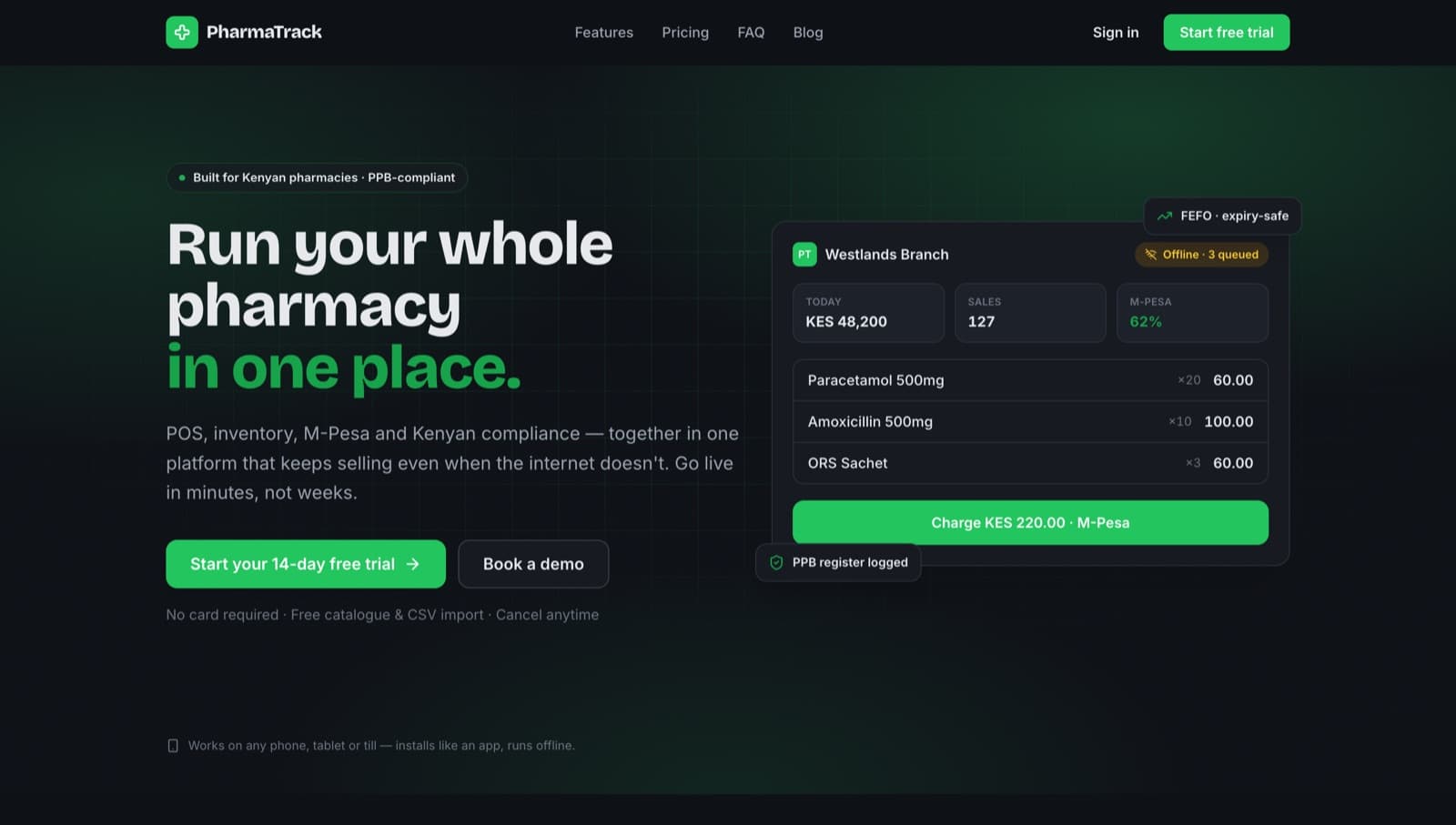
Multi-tenant pharmacy management SaaS for Kenya: offline-capable POS with M-Pesa, batch- and expiry-aware inventory, a controlled-substances register, appointment reminders and Paystack billing.
geospatial-stack
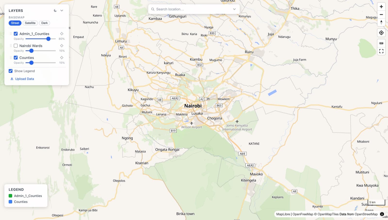
Docker-first platform for publishing geographic data: uploads are validated, run through a Celery ETL into PostGIS and GeoParquet, and served as vector tiles behind a FastAPI, with dataset governance and an audit trail.
 Geospatial2026
geo-stack
Reusable spatial data stack: PostGIS for writes, DuckDB + GeoParquet for analytics, Martin and PMTiles for vector tiles, TiTiler for cloud-optimised rasters, and a STAC catalogue behind one FastAPI. Runs locally, on free cloud tiers or on a VPS.
Go gRPC Microservices
Account and order services in Go behind a Fiber API gateway, communicating over gRPC with Protocol Buffers, each with its own repository layer and database.
Luxe Collections POS: Mobile
iOS and Android POS and inventory app for a Kenyan fashion retailer: barcode scanning, search, layaway with partial payments, loyalty points, multi-location stock and offline storage.
 Full-stack2026
Luxe Collections POS: Web
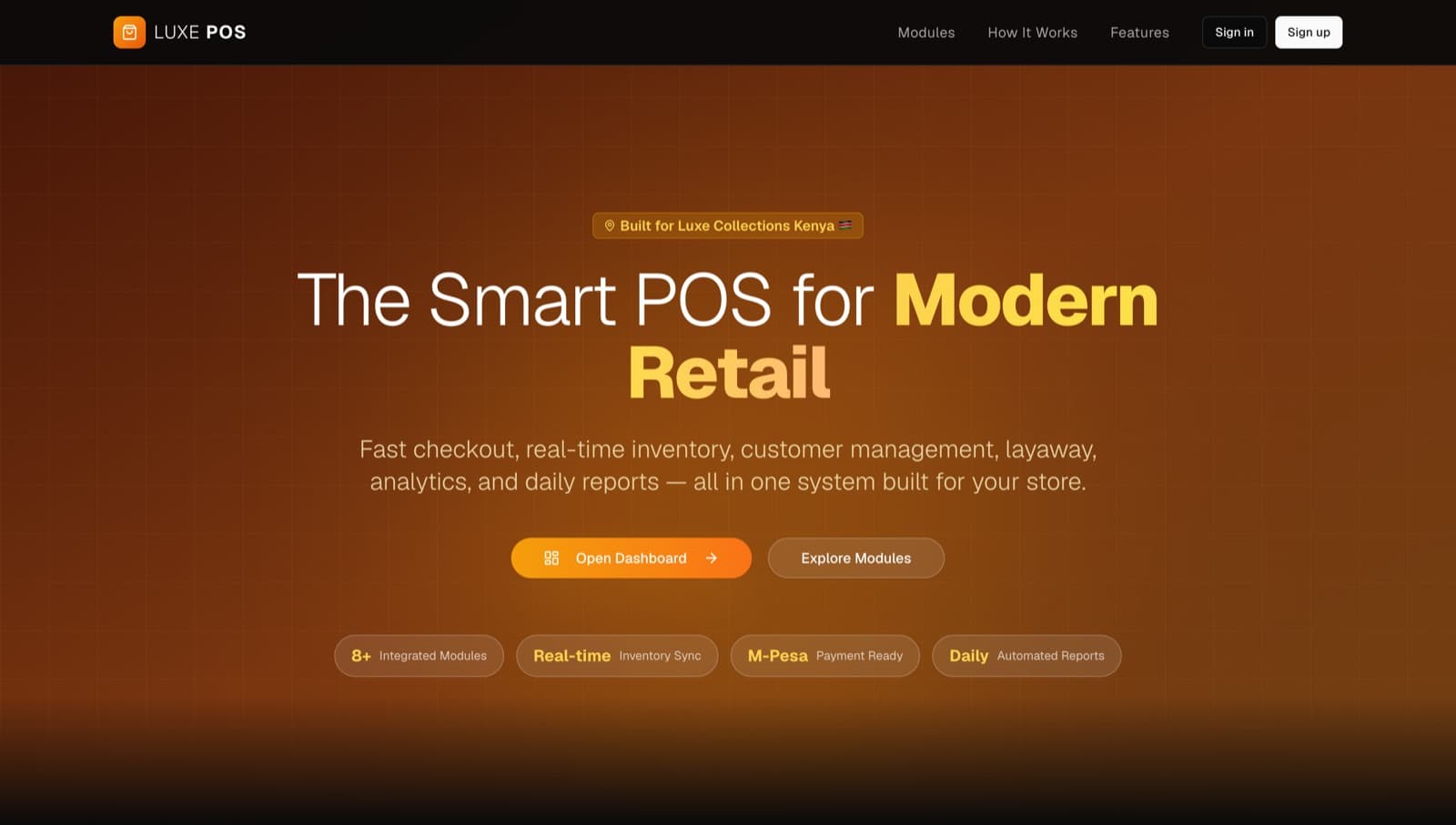
Point of sale and inventory system for the same retailer, with a checkout interface, analytics dashboard, multi-location stock and an e-commerce landing page, backed by Supabase with row-level security.
Ardhisasa QGIS Plugin
The QGIS plugin State Department of Lands surveyors use to check and certify parcel jobs: overlap and gap detection, centroid checks against gazetted boundaries, Cassini-to-UTM transformation, survey plans and compliance reports. Government code, not public.
GIS Backend Stack
Self-hosted spatial backend: PostGIS, GeoServer for OGC WMS/WFS/WCS/WMTS, Martin vector tiles and a Rust + GDAL ingest service with a browser upload UI, all behind one Nginx entry point.
 Geospatial2026
Route Explorer
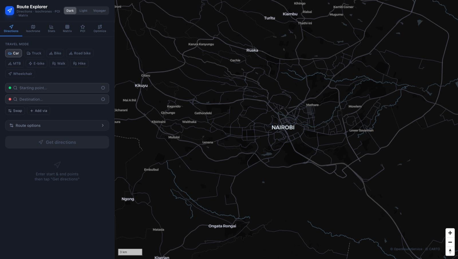
Routing app on OpenRouteService: multi-waypoint directions with nine travel profiles, alternative routes, isochrones, travel-time matrices, POI search, multi-stop route optimisation, elevation profiles and GPX/GeoJSON export.
 Geospatial2026
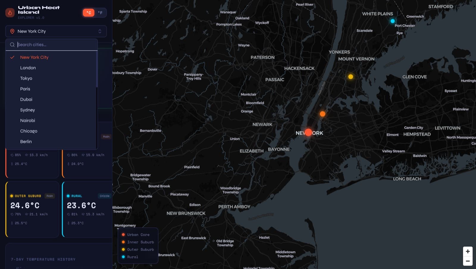
Urban Heat Island Explorer
Compares live temperature in a city centre with points progressively further out to show the urban heat island effect for 25 cities, with a 7-day history and an hour-by-day heat grid.
 Geospatial2026
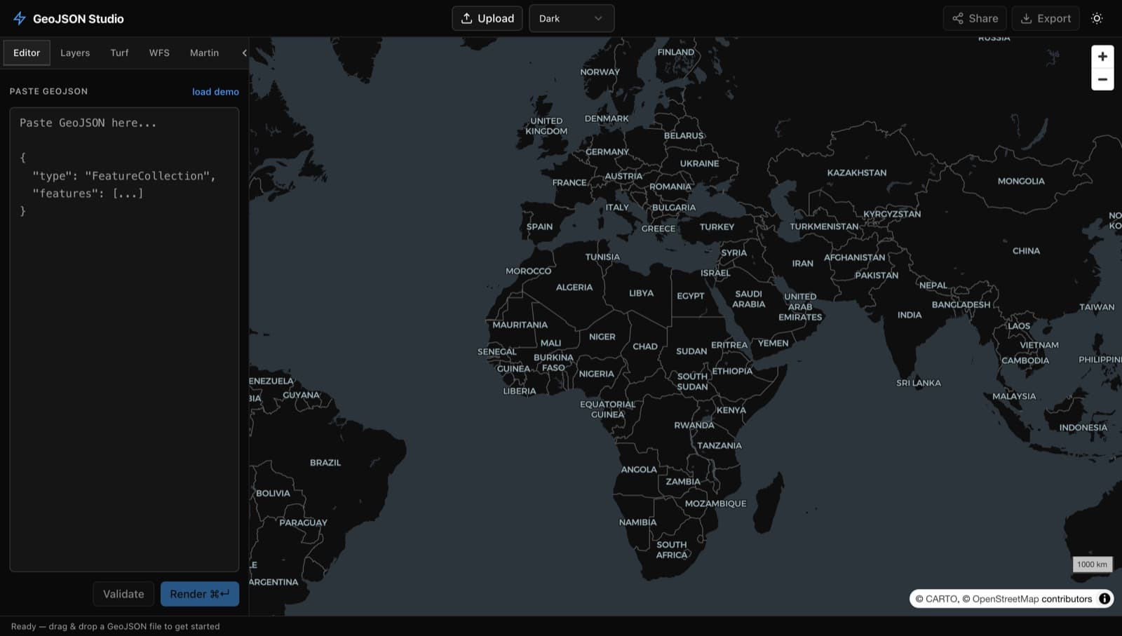
GeoJSON Studio
Browser-based GeoJSON editor with multi-layer support, Turf.js geometry operations (buffer, simplify, dissolve), styling and shareable URLs. No backend, no API keys.
 Full-stack2026
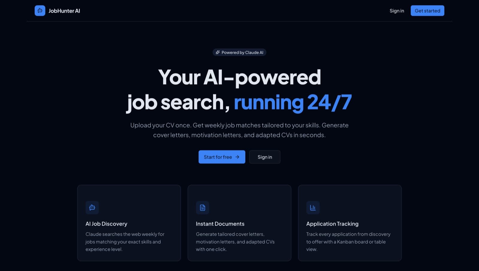
JobHunter AI
Job search and application tracker: parses a CV, uses Claude with web search to find matching roles, and manages the application pipeline in kanban and table views.